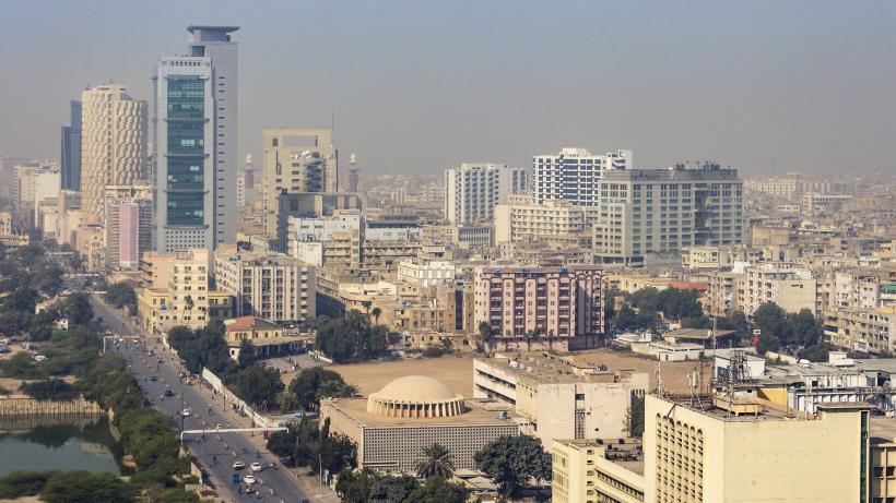
Remote sensing for property valuation and taxation in Pakistan
Effective property tax administration and revenue collection require detailed and accurate property information. However, collecting this information through large surveys is both time consuming and costly. Remote sensing can simplify this process by mapping and identifying taxable properties in real time.
The provincial capacity to generate fiscal revenue has been low in Pakistan since the early 2000s. Although rapid urbanisation has caused a substantial increase in taxable property, growth in coverage of the area of taxable property has been slow despite recent reforms. In some provinces property tax yields only 6% of tax revenues. With high national debt, this low revenue mobilisation has serious implications for long term fiscal sustainability and can severely hinder the state’s capacity to invest in public goods and services such as healthcare and education.
Quality data needed for accurate, transparent and fair taxation
Currently, there is limited use of Geographic Information System (GIS) data and Management Information System (MIS) data – an information system which visualises data – for analysis and decision-making. There is also limited availability of both from third parties to help the Punjab Government in growing the tax revenue base. MIS is updated through surveys of the site which are not feasible for every record in the system because it is costly and time consuming, and prone to (un)intentional human errors. This leads to inefficient or arbitrary revenue targets and financial planning, erroneous data resulting in inaccurate analysis, and various other inefficiencies. It also leads to a lack of transparency with regards to spending and resource utilisation, leaving openings for corruption in revenue collection. One such example is stated in the International Growth Centre’s State Effectiveness Evidence Paper (2019) which reported that Khan et al. (2015) conducted a random experiment in which property tax collectors in Pakistan were given about 30% of all tax revenues they collected above past records. On average, this corresponded to doubling the salaries for treatment group individuals. While the intervention yielded promising effects for tax revenue, many property owners reported an increase in bribes with no significant changes in taxes paid in parallel.
Identifying and mapping taxable properties
To solve this, Technology for People’s Initiative (TPI) has proposed to integrate Third-Party GIS and MIS data within the Government's data by using satellite scanning of property to monitor current landscapes and changes in construction. Although, much research has been done for extracting meaningful information from remote sensing data in recent years, the domain of automatic extraction of individual structures in a given region is still a challenge. Recent advancements in machine learning and artificial intelligence with access to remote sensing data via Google Earth Engine and other cloud platforms have paved the way for developing innovative solutions to solve the problem of large-scale surveys. Several deep learning techniques have been developed over the past few years that ensure faster classification and accurate detection and segmentation of objects. In this research, a Land-Use/Land Classification model is designed to extract regions of interest from a large survey area. Image segmentation is then used to solve the problem of identifying instances of plots through the satellite scanning of properties. This identifies the presence of construction in different regions, and then classifies these based on their structures – for instance, constructed versus not constructed.
Using remote sensing in revenue decision making
The use of geospatial information for detailed analysis of urban areas allows for the analysis of city growth, detailed distribution of properties, more efficient and productive land surveys and improves the ease of calculating and maintaining property taxes. This would in turn allow for avenues of additional revenue generation to mobilise revenue for growth.
The aim is to increase efficiency of the Excise and Taxation Department (ET) and increase property tax revenue. Extensive training of existing staff through workshops and user manuals has also been included in the planning of the project. Upon the completion and adoption of the project there should be better identification of properties that are land (undeveloped) versus constructed (developed), better accuracy in identifying residential versus commercial properties, and easier data collection through surveys. The project would also enhance transparency, yielding long-term improvements with increased buy-in for the usage of the application from respective key stakeholders in the government. TPI also aims to reduce the computational cost by developing a hybrid solution using both low-resolution multispectral imagery and high-resolution satellite imagery.
Opportunities for better planning and improved disaster management
Along with the identification of construction for taxation purposes, automated building extraction from satellite imagery also provides information which can be useful for furthering Sustainable Development Goal 11 (Sustainable Cities and Communities), Goal 12 (Responsible Consumption and Production), and Goal 13 (Climate Action). To illustrate, the exact numbering of brick kilns and their locations is needed in order to understand the brick sector’s pollution and climate impacts and address black carbon and other short-lived climate pollutant emissions.
Monitoring and controlling the social economic growth of cities facilitates service provision for the residents and expediates the process of assessing damage due to disasters. This then informs and aids relief departments in restoring affected areas and emergency preparedness for the future. Other areas which can benefit from this technology include intelligence analysis, defence, telecoms, and the estimation of urbanisation effects on farmlands, forest volume and population.

