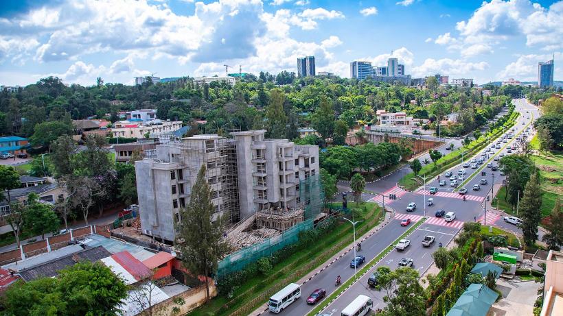
Valuing property and buildings in Kigali and secondary cities
This project aims to value property and buildings in Kigali and five of Rwanda’s secondary cities. Generated property values will be delivered to Rwanda’s Ministry of Finance and the Rwanda Revenue Authority (RRA) so these values can be incorporated into the IT systems of RRA and used for property tax administration purposes.
Inspired by a previous IGC-funded project 38315, “Using machine learning and remote sensing to value property in Kigali”, a collaboration with Rwanda Revenue Authority, Ministry of Infrastructure and Rwanda Land Management and Use Authority allow us to combine three types of data: building footprint and height data, data on infrastructure, amenities and spatial characteristics of parcels, and, crucially, sales and boundary data for land parcels between 2015 and 2020.
Moving forward, collected data will be processed into a format that can be analysed for e.g., overlaying building footprint data on to parcels to see which parcels are built, or finding the distance to the nearest road of each parcel. Directly after, we will undertake a feature selection process to select the variables that will be included in the final property valuation model. Following the final property valuation model, we can extract a full list of building values and assess their accuracy. It is planned that GOPA and RRA will then incorporate these building values into the tax administration system.


