Mapping the Grid: Jumpstarting an Electricity Consumption GIS


How can one generate a map to show the amount of electricity being consumed in each neighborhood? Such a map would be fundamental not only in understanding spatial patterns of access to electricity, but also for inferring the economic status of an area. Electricity consumption patterns can serve as a proxy for socio economic status of an area. Yet, a spatial visualization of electricity usage in Pakistan does not currently exist, with planners and researchers having to rely on data contained in tabular form that does not allow inference of spatial patterns.
The problem looks deceptively simple. One can just take all the consumer addresses and assign their consumption as an attribute in any GIS package. However, in the context of developing countries in general and Pakistan in particular, this task is riddled with several pitfalls. A standardized addressing scheme for recording consumer addresses does not exist, making the mapping of street addresses cumbersome and not scalable. Addresses themselves are recorded in ambiguous and incomplete ways. The location of electricity feeders is often not available in geo-coordinates, and line-diagrams are not geo-coded. Thus, converting tabular data of consumption into a spatial visualization is not easy. These challenges are so significant that currently, in Pakistan, no reasonable visualization exists with electricity sector officials.
We aim to jumpstart mapping of electricity consumption in the quickest possible timeframe through a novel data driven approach. We propose locating the footprint of each electricity feeder through intelligent mining of text addresses. We will analyze the consumer addresses to find the commonly repeated tokens and to arrange them in a hierarchy that can be semantically understood by our algorithm. Through this approach, we will extract a few important neighborhood names from amongst the hundreds of addresses in a feeder area, and then use these few names to establish the footprint of the feeder area on a map.
We have already experimented with a few feeders in Lahore and have established their footprint through this approach, which gives us confidence that this approach has merit and can be scaled up. In this project, we will attempt to complete one full district to demonstrate the viability of the approach.
If successful, the project will yield, to the best of our knowledge, the first electricity consumption map in Pakistan.
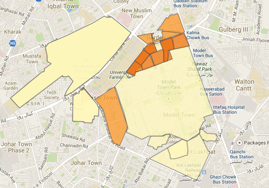
Fig 1. A map showing electricity consumption patterns of some areas of Lahore